
Day 20: Sabine Hut to West Sabine Hut
Trip notes from my journey across the South Island with my little blue boat. Which is actually a packraft. With lots and lots of hiking between the water.

Those serious doubts I’d suffered on the first day, climbing up to Angelus Hut, seemed to be dissipating. The descent from Cedric to Sabine Hut in the warm, spring sunshine, followed by the positivity of the other trampers around me had given me a boost and I was ready to practically run up the Sabine Valley.
The forecast was for a few showers in the afternoon, but nothing full on. The morning started clear, with some cloud rolling in after a few hours. It was light cloud and didn’t appear to be carrying anything nefarious.
The first several kilometres from the hut were bliss: flat and over a well formed track. I should know, though, it never stays like that. I’d been warned by three separate parties about the fallen trees along this stretch of track. I received a fourth from a tramping party of six men, as I met them at the first of about three track washouts.
“You’re going to see some fresh tree fall later on,” promised one.
“We’ve cut through it a bit. Made it slightly easier,” said another, eager to emphasise it still wouldn’t be easy.
It wasn’t. Every kilometre up the valley had to be earned. The track had been severely washed away in places and I clambered through a lot of fallen trees, but nothing slowed me down like the eventual gravitational strain of my pack.
My longest stretch without needing to stop and sit without it on was 4km. It must have been following a relatively flat spell, beside the river bank, because climbing in this outfit usually prompts a rest every 2km.
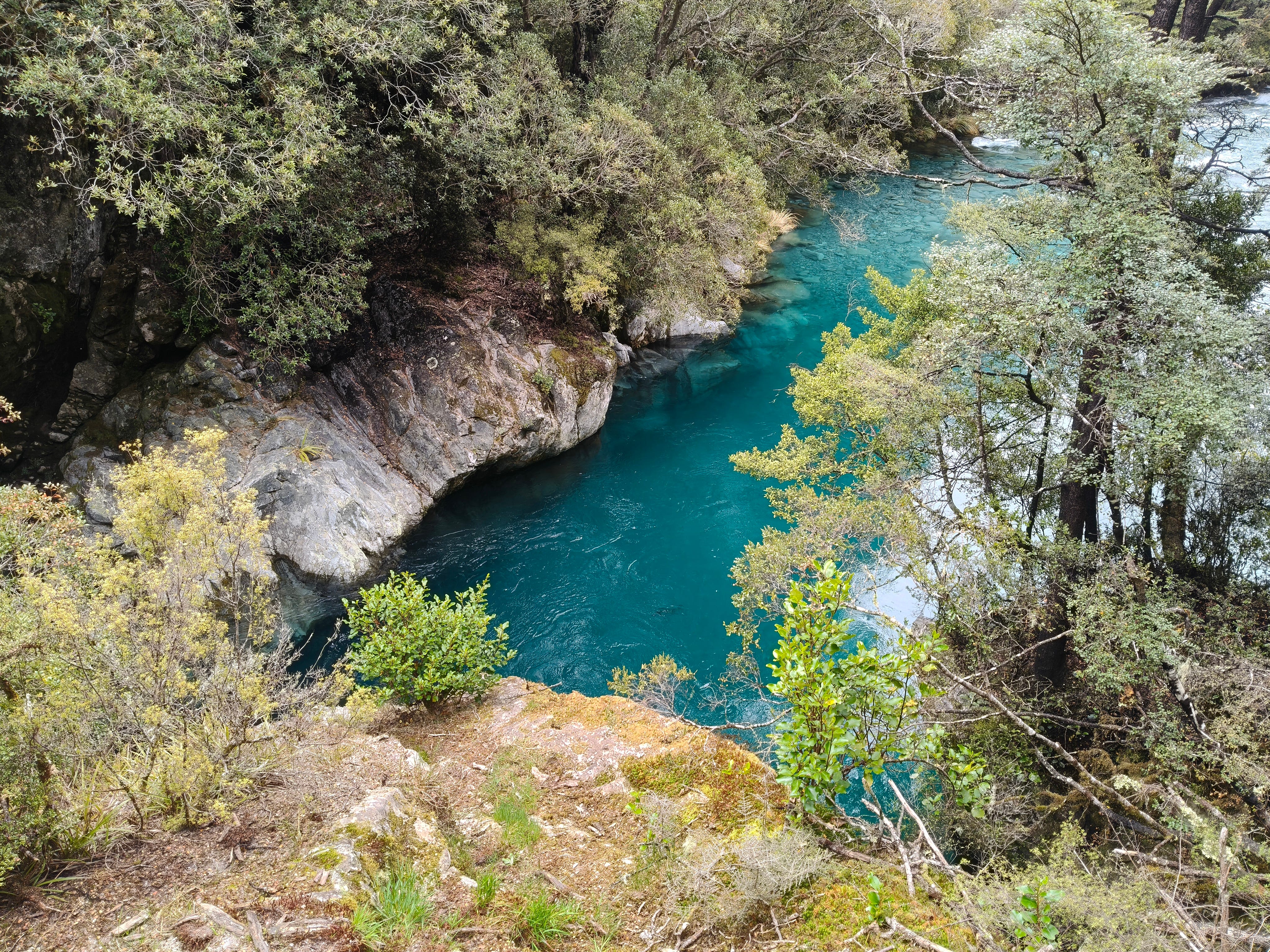
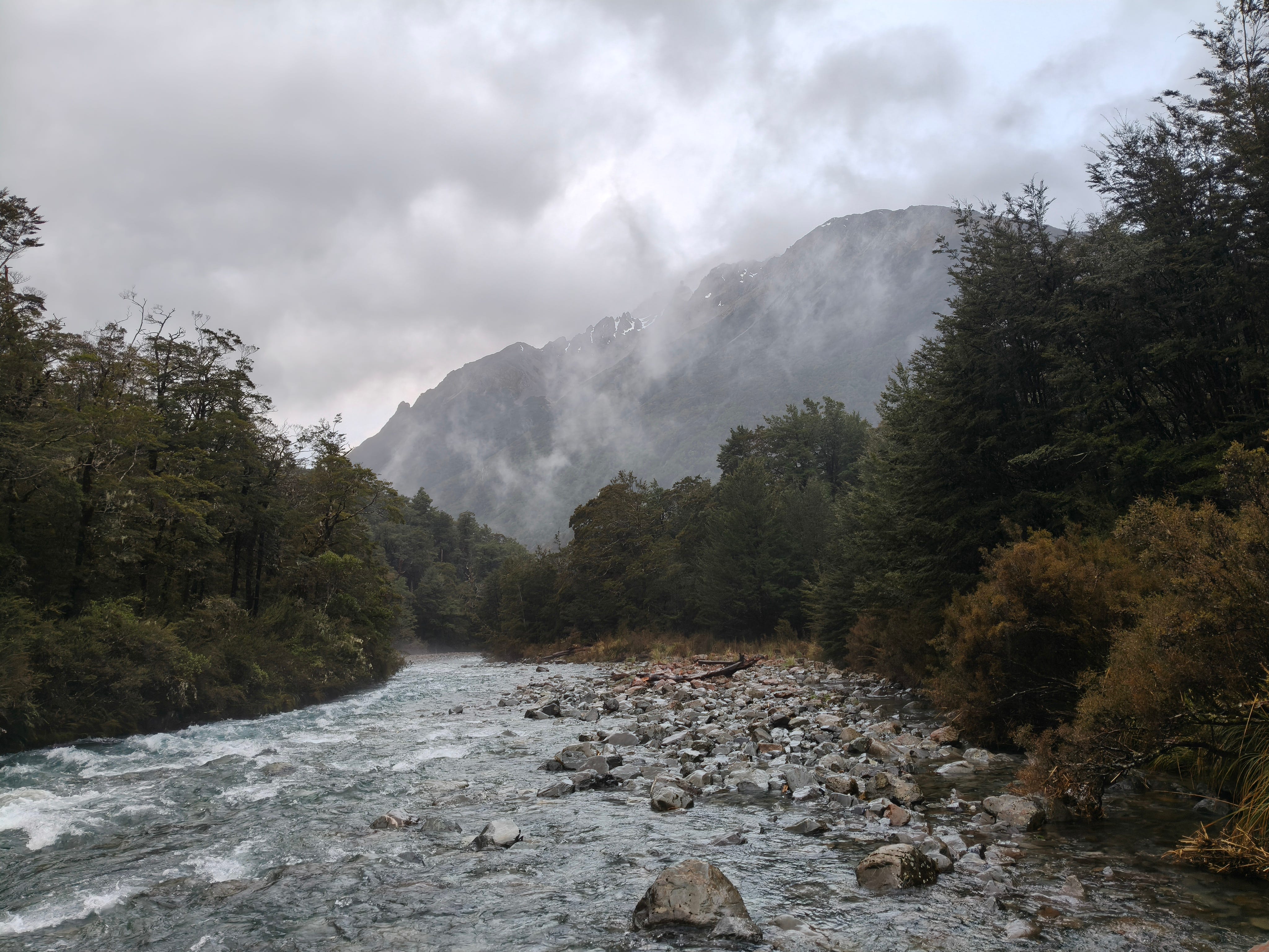
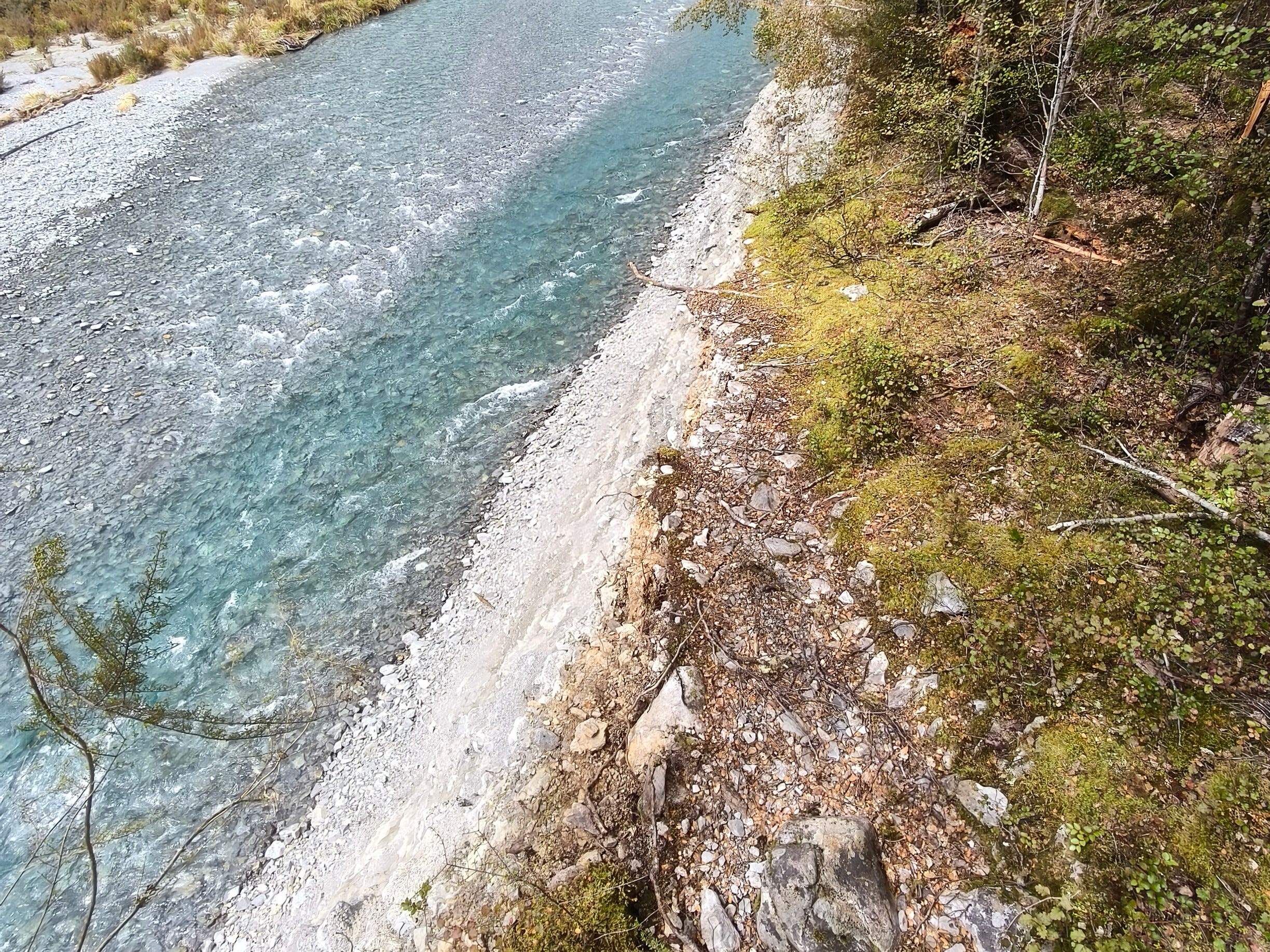
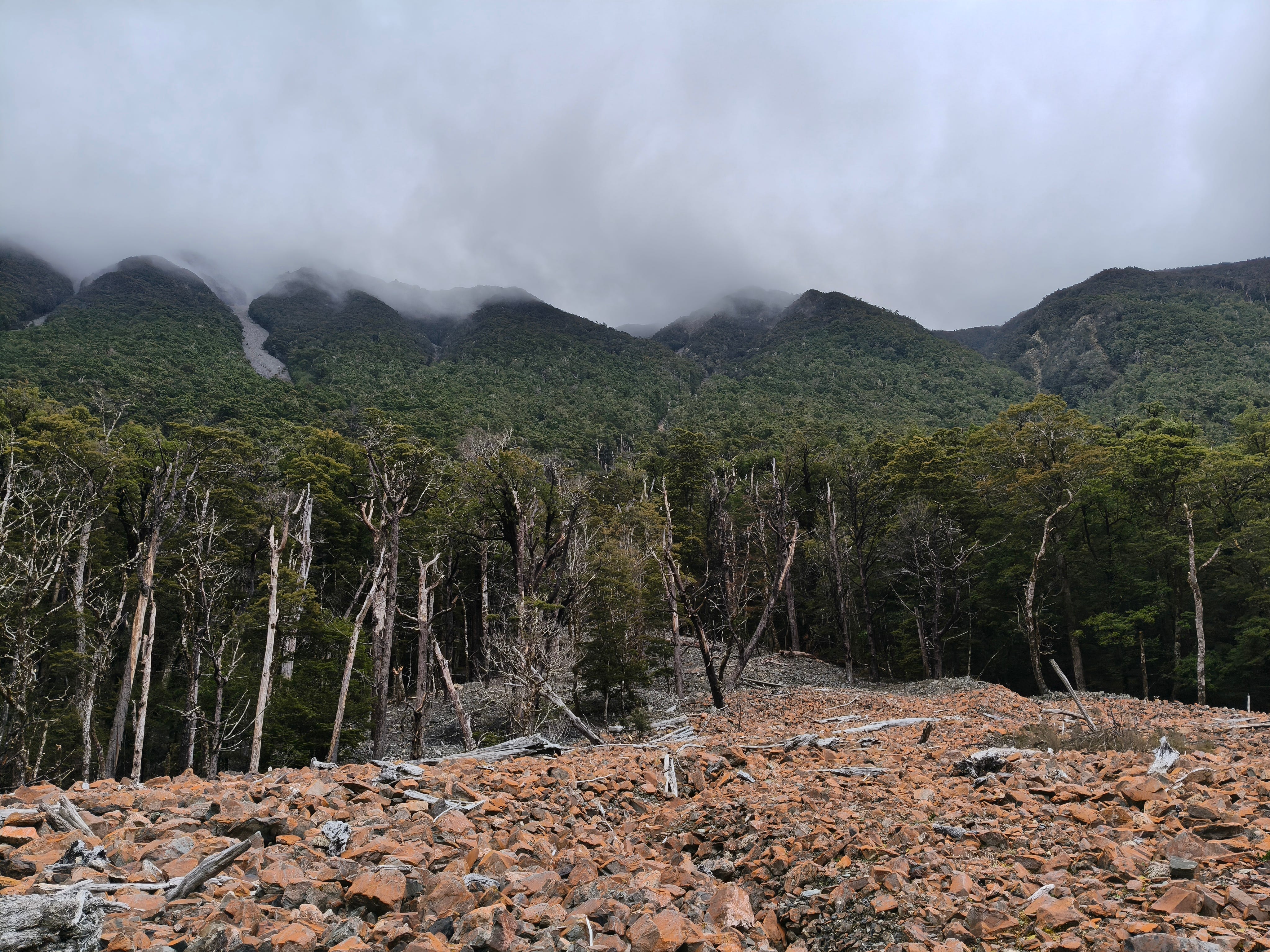
The Sabine Valley itself is yet another stunning South Island river location. Clear, light blue water rushes down its usually wide, rocky bed. The track, mainly through adjacent beech forest, mostly follows the river’s true left, after crossing via bridge at the end of its gorge. Long ranges of mountains loom overhead, some of which threaten the track with avalanches, particularly at this time of year.
The clouds gave in and very light rain began during my second rest break, at a large and beautiful flat clearing beside the river. It was obviously a great place to camp, evidenced by the remnants of fireplaces beside perfectly flat sections of grass. The droplets falling at this point were mere air conditioning for my overheating body as it trudged duly up valley, under the command of its quite questionable master.
The plan at start of day had been to try and reach Rotomairewhenua Blue Lake - one of the river’s sources, famed for having the clearest water in the world. The sign when I set off had said it was eight hours, but when I pulled in at West Sabine Hut after seven hours, finally beginning to get wet from the rain, I decided to call time.
Cold, hungry and battered, I tried to write this before going to bed, but found it would have to wait until morning. My head needed rest.
Tell them about the swing bridge!
Oh yeah, to reach West Sabine Hut, there’s a swing bridge over the river. On the hut side, you just walk straight off, but on the opposite side you must climb up onto the bridge, underneath its main supporting wires. This is not fun nor a pretty sight with a bulky pack on, with a carbon paddle protruding upwards and a helmet protruding out back. It’s even worse trying to do it as brain-fried, body-smashed, human man at the end of a tricky and tiring 16km tramp. Taking my pack off would've been the smarter thing to do.


West Sabine Hut is a neat 30-bunker, with fireplace, cooking area and even a chess set, the pieces improvised with stones. The West in the name comes from the split in the river, with the track now following what's called the West Sabine River up towards Rotomairewhenua Blue Lake.