A race against the sun up Mount Arthur, Gordons Pyramid and on to Salisbury Lodge
Back in Kahurangi National Park for the first since I rode the Heaphy Track with a broken wheel in 2015. What could possibly go wrong?
Mount Arthur, Port Albert, Arthur’s Pass and Albert Town. Just some of the places New Zealand settlers named after some old folk with A-names. It’s unfortunate for me, since the unimaginative naming of a place prompts a slightly more uninterested response. Yes, that’s my problem, but, in a country where a hill can be named ‘The summit where Tamatea, the man with the big knees, the slider, climber of mountains, the land-swallower who travelled about, played his kōauau (flute) to his loved one’, I tend to get a bit judgey when finding a place is simply called ‘Mount Arthur’.
However, I’m also a solutions enthusiast, so from now on, I’ll refer to Mt Arthur as ‘The Mountain which Arthur Dudley Dobson named after Captain Arthur Wakefield after Arthur explored the Arthur Range’. Actually, no I won’t. According to the NZ Topo Map, the summit elevation of Tu Ao Wharepapa is about 1795 metres, although that probably increases slightly every year. My Suunto watch claimed my elevation was 1798 metres as we stood on the summit. Spoiler alert: we made it to the summit.
Names aside, the idea to climb Old Art came entirely from a mate. If he hadn't mentioned it, I may not have ever wondered what was over that way on the Arthur Range. I may have again just visited Nelson, looked across Tasman Bay, thought "oooh, nice, mountains" and continued my ways of not going there. This time was different. Travelling up the West Coast, Zoe and I had wanted to do a hut stay, but weather and other distractions had won. The sight of the epic range from my friend’s Atawhai apartment had caught my eye. It was the perfect fit for a two-day scramble.
And scramble we did. If there’s ever an adventure couple who are great at biting off more than we can chew, it’s us (remind me to tell you about the Aorangi Range sometime!). From the Flora Saddle car park, we planned to walk up to Mt Arthur Hut, continue to the summit of Tu Ao Wharepapa, return back down to the junction, climb the aptly named Gordons Pyramid and settle into Salisbury Lodge for the night. If you know the area, you'll know this is quite the undertaking for a day. If you don't know the area, this is quite the undertaking for a day!
View this activity on Strava - click here
True to the signs, the car park to Mount Arthur Hut is an easy hike, taking roughly an hour. We paused outside the hut for a snack, utilising a handy picnic table. A pair of kea flew back and forth between the trees, their trademark squawk dominating the acoustics.
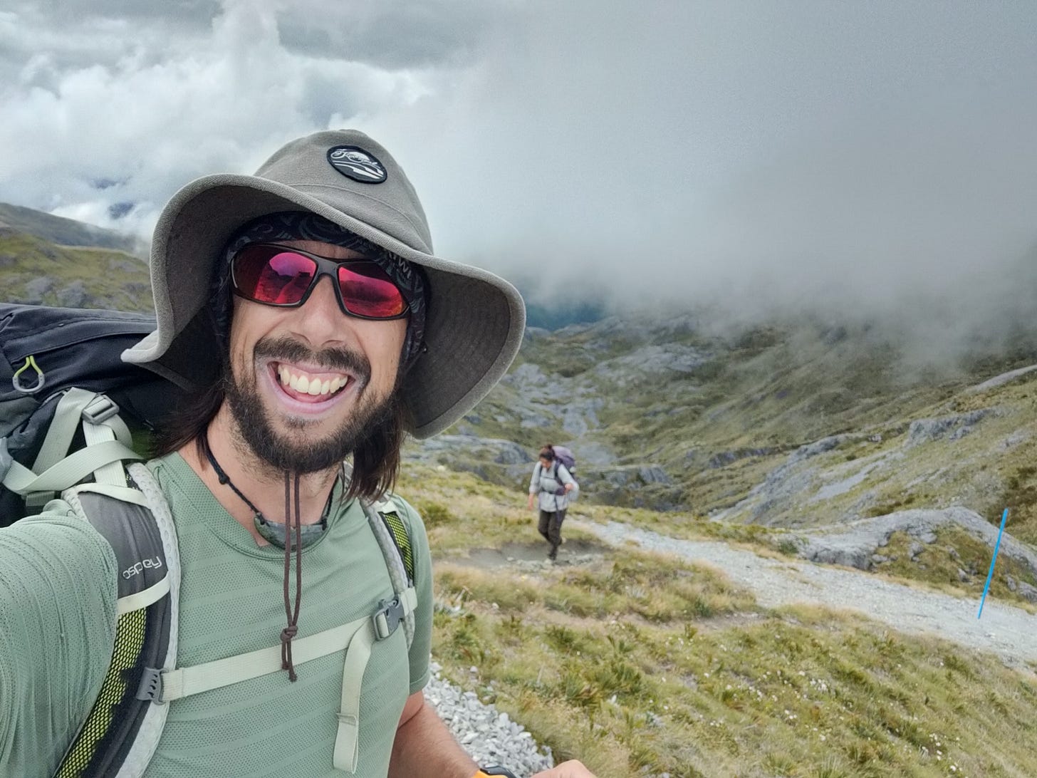
Lunch taken, we packed up and took the two-minute walk to the next junction, which happens to be level with the treeline. Blue poles mark the route over the tops from there. As I marched on, navigating my feet over dark marble slabs that seem to ooze out of the ground, I noticed I was alone. I paused by a large cairn of rocks and turn around to see Zoe, SLR camera in hand, meandering slowly along the rocky path. Good on her, there’s lots to see and photograph.
The track hardly challenged us, until we got well past the Arthur-Gordons junction. There, it gradually morphs into a series of ups and downs, slabby scrambles, cliff-clambers and rocky rambles. Our pace dropped. The weather too untrustworthy to park our packs, we slowly soldiered on with their weight, gradually gaining against the gravity that holds us to the ground. After an eternal-seeming amount of time, our heads popped up above the giant flat that leads to the Arthur summit. “Is this the top?” asked Zoe, excitedly. “Nearly!” I replied and pointed 100 metres up the gentle slope to the actual summit.
We were far from done. After some photographs and a snack, we began the process of retracing our steps back to the Gordons Pyramid junction. Strangely, the steep descents felt fast, while the supposedly easier section, down the gentler gradient, seemed to take twice as long as it did going up! Bottoms perched on a low-stool made of tussock and loose rock pieces, we refuelled next to one of the day’s many wooden signs. It claimed our destination, Salisbury Hut, was 7km away, or 2 1/2 hours in time. We would see.
From the sign, the route drops steeply down into a karst gouged into a U-shape by ice. Whoever named it couldn’t resist but name it Horseshoe Basin. Loose stone and the type of gradient that makes stone pieces even looser challenged the grip on our soles, as we edged slowly into the basin. Our trekking poles anchored us to the ground, proving yet again their worth. At the basin’s basement, no longer sucked off-balance by gravity, we negotiated our way past the large hunks of marble and multiple sinkholes that litter the terrain. It’s another world down there.
Being U-shaped, the flat bottom is over as quickly as it started, though the route finds a gentler exit from the basin. We trekked on up and out, between the faded yellow mountain grasses, and reached the top of the next hill. Time was ticking on and I was getting anxious of our ability to make the hut before dark. I turned to Zoe and relayed my concerns. This had happened once before, during our lightening-speed traverse of the Aorangi Range1. Zoe's reaction was the same this time as it was then: "no, we go on!"
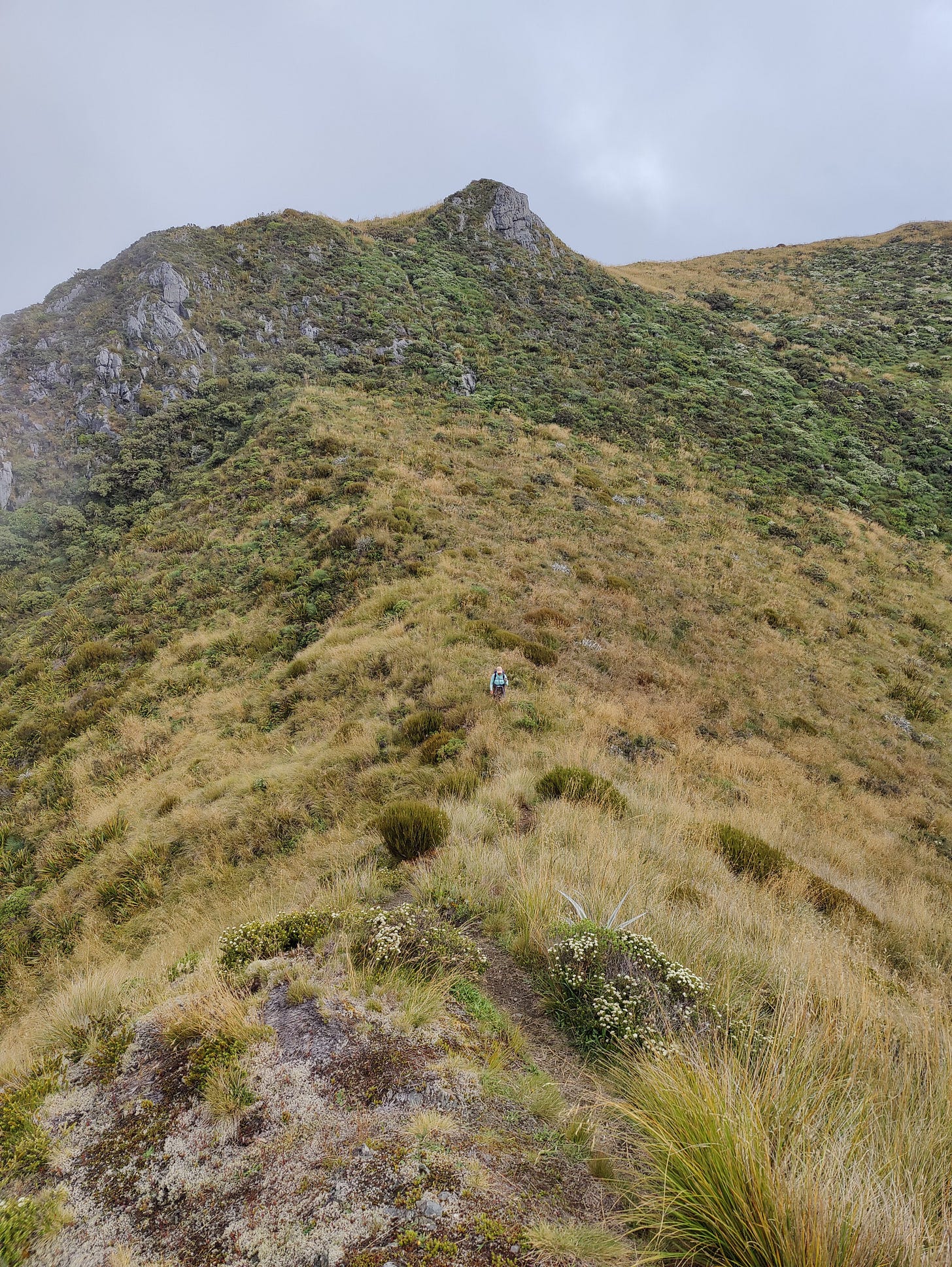
Going on, we immediately faced the toughest obstacle of the day. The route drops steeply down a precipice, with muddy slides and slippery rocks to negotiate. This slowed us right up. My anxiety also shot up. With just over two hours until sunset, I wanted us over the mountain and in reach of the hut before it go too dark. Being unbookable, there was no guarantee of bunks and awkwardness would be on 11 if we rolled in super late to find the hut full.
Fortunately, the rest of our trip was straightforward, if not easy. We took on the steep spur up the side of Gordons Pyramid, which proved surprisingly easy when set against the day’s other challenges. The sign at the summit claimed 3km or 1 hour to the hut. We had an hour and twenty until sunset.
Gordons Pyramid is named for its unique shape, namely on its north and northwestern slopes. It’s highly distinctive when approaching Takaka Hill from the northern side. A glance up the Cobb Valley on a clear day will show off its shape in all its ancient Egyptian glory. Zoe and I experienced that shape first-hand as we gingerly descended its northwestern spur. Yet more loose rock ground at our soles. “Now we’re on the home straight!” I said, getting swept up in ‘downhill all the way’ fever. A dangerous game.
We trotted on towards a thin section of forest that looked almost out of place against the tussock and rock mountain-scape. It took just two minutes to pass through it. Beyond it lay a visual treat. The route led us down the middle of a roundly, gently sloping ridgeline, coated in grey stones, scattered with small plants and the occasional scrub. The time of day placed the sun low in the sky. Its golden rays poked out from behind the cloud, beaming onto lower clouds and illuminating the many more distant peaks of Kahurangi National Park. Torn between continuing our great progress and stopping for pics, we opted for the pics and it was the right choice.
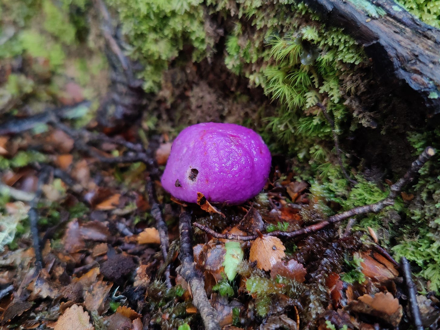
The ridgeline soon gets covered in damp, mossy forest and tests hikers with a steep and muddy descent. Tree roots and other footholds are on offer to assist. We took full advantage of these as we descended into the darker depths of this mountain range. Weka roamed the track-side foliage, while little purple pouch fungus inhabited the clearer soils.
It was exciting. The sun was shutting up shop for the day, but this forest was enchanting and I wanted to stay. It flattened out and we followed the track up, over and around rocky groves, before finally emerging onto an open, sandy plateau covered in tall, thick grasses. Some equalled Zoe for height!
Light was fading fast, but the hut was so close. We reached the junction with the main Salisbury Track and wasted no time in throwing a left and marching along its clear and worn path. After half a kilometre, we entered another small cluster of trees, climbed up a few steps and entered a clearing to see the hut. It was officially 15 minutes or so after sunset, but we had done it! No getting lost, wandering around the mountains for us. Phew!
Salisbury Lodge, a tidy 22-bunk hut rests just east of Tableland. We slipped our boots off and dragged our weary bodies inside, delighted to find just three other trampers in the kitchen. Despite the darkness, the outlines of the two mountains remained visible through the windows, their shapes lingering, awaiting sunrise. The only thing we were awaiting was dinner and bedtime.
Which I still haven’t written about because it will be in the Waka & Waewae Journey book!


