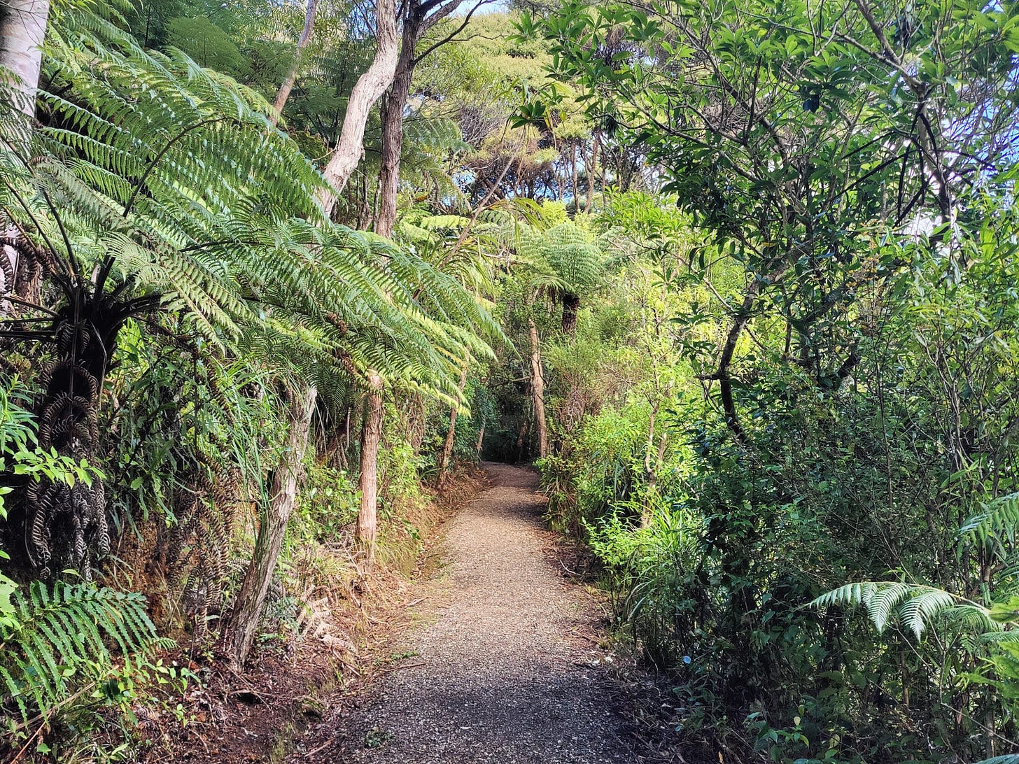
Hike the Hillary Trail original route, via Kitekite Falls
Ussher and Winstone Tracks are open, so hikers have the option to tackle part of the original Hillary Trail between Karamatura and Craw Campground.
Listen up, Aucklanders and those of a Jafa-friendly persuasion. I recently discovered an awesome piece of the original mk.1 Hillary Trail is open. This means it is possible to hike the classic 2010 trail route all the way from Karamatura to Craw Campground.
The tracks in question are Ussher (definitely spelt this way) and Winstone, which start at Piha Road and link up with the popular Kitekite Falls Track. This is a small update for my guide on the Hillary Trail, published earlier this year.
Both routes require a small amount of walking on Piha Road. Please take extra care when tackling these sections.

Southbound trampers
As you enter Piha township, pass Piha Store and follow the road round the domain and campground, until it crosses Piha Stream. Turn left and walk up Glenesk Road for 1km to the car park. Enter the forest and take Kitekite Track, which follows Piha Stream to the internet-diva, the 80-metre-high Kitakita Falls. They’re worth a look.
At the falls, follow the uphill track on the true right of the stream, which weaves up through the bush and eventually joins the stream above the waterfalls. Cross using the concrete chunks of the old kauri dam and continue on the track, now on the true left of the stream. After a couple more crossings, the track leaves the banks and climbs gently up to Piha Road, taking around 30 minutes.

Clean your footwear at the station and head on out to the road. You will be roughly in line with the Karekare Road junction. Continue on Piha Road in a westerly direction for a little over 1km. Yes, this is the original Hillary Trail route. It’s slightly loopy that walkers must follow this busy main road, but the speed limit does drop to 50km/h close to the trailhead. Face oncoming traffic, take extreme care on the bends and cross the road if it gives you a better view round a corner.
Turn left onto Te Ahuahu Road and you are back on the route we hiked in January, so can continue with my previous guide. Have fun and let me know how you get on in the comments!

Northbound trampers
Walk to the end of Te Ahuahu Road and turn right onto Piha Road. Follow it in an easterly direction for approximately 1km. Yes, this is the original Hillary Trail route. It’s borderline bonkers that walkers must follow this busy main road, but the speed limit does remain at 50km/h for a chunk of this walk, increasing slightly as you near the trailhead. Face oncoming traffic, take extreme care on the bends and cross the road if it gives you a better view round a corner.
At the junction with Karekare Road, you’ll see the track entrance on the left side of Piha Road. Clean your footwear at the footwear cleaning station and enter the track. For about 30 minutes it gently descends through bush, until arriving at the tributary streams for Kitakita Falls. Continue on the track and cross over the bridges to arrive at the top of the waterfalls.
Cross the stream on the concrete chunks of the old kauri dam and continue on the stream’s true right. The track descends through the bush and arrives at a junction, allowing a visit to the bottom of the falls. They’re worth a look.
After visiting, follow the track out down the valley to Glenesk Road. At the car park, follow the road for roughly 1km down to where it meets Piha Road. Turn right and walk around the domain campground, pass Piha Store and arrive at the beach. You can continue on with my previous guide in reverse, now. Enjoy and let me know how you get on in the comments!


