Hiking the Hillary Trail, in the Waitākere Ranges
A three-day adventure on the hiking trail that takes Sir Ed's name, in west Auckland's rainforest park. Yes, it is open... sort of.
Location: North Island, Auckland
Time spent: three days, two nights
Distance: 50km
In 2018 a kauri dieback-forced rāhui shutdown all the public tramping tracks in Auckland’s Waitākere Ranges. It was both a necessary and devastating move. For a decade before, I had discovered and nurtured my love of this country’s outdoors in this regional park wonderland. It was my favourite playground. However, I was acutely aware that a killer disease was ripping through much of the irreplaceable rākau of this sacred forest. A proportion of trail users disinfecting and scrubbing their boots upon entry and exit wasn’t enough, so iwi Te Kawerau-a-Māki took decisive action and Auckland Council followed suit. The forest was closed.
A major casualty of this was the Hillary Trail. Opened in January 2010, this 75km multiday epic through the rugged ranges incorporated some of the park’s most scenic tracks. It required walkers carry a tent, since there are no public huts along the way, and came with terrain ranging from steep and slippy clay paths to soft, black sand dunes.
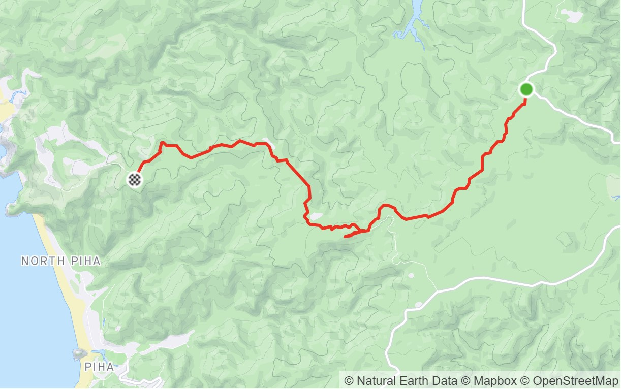
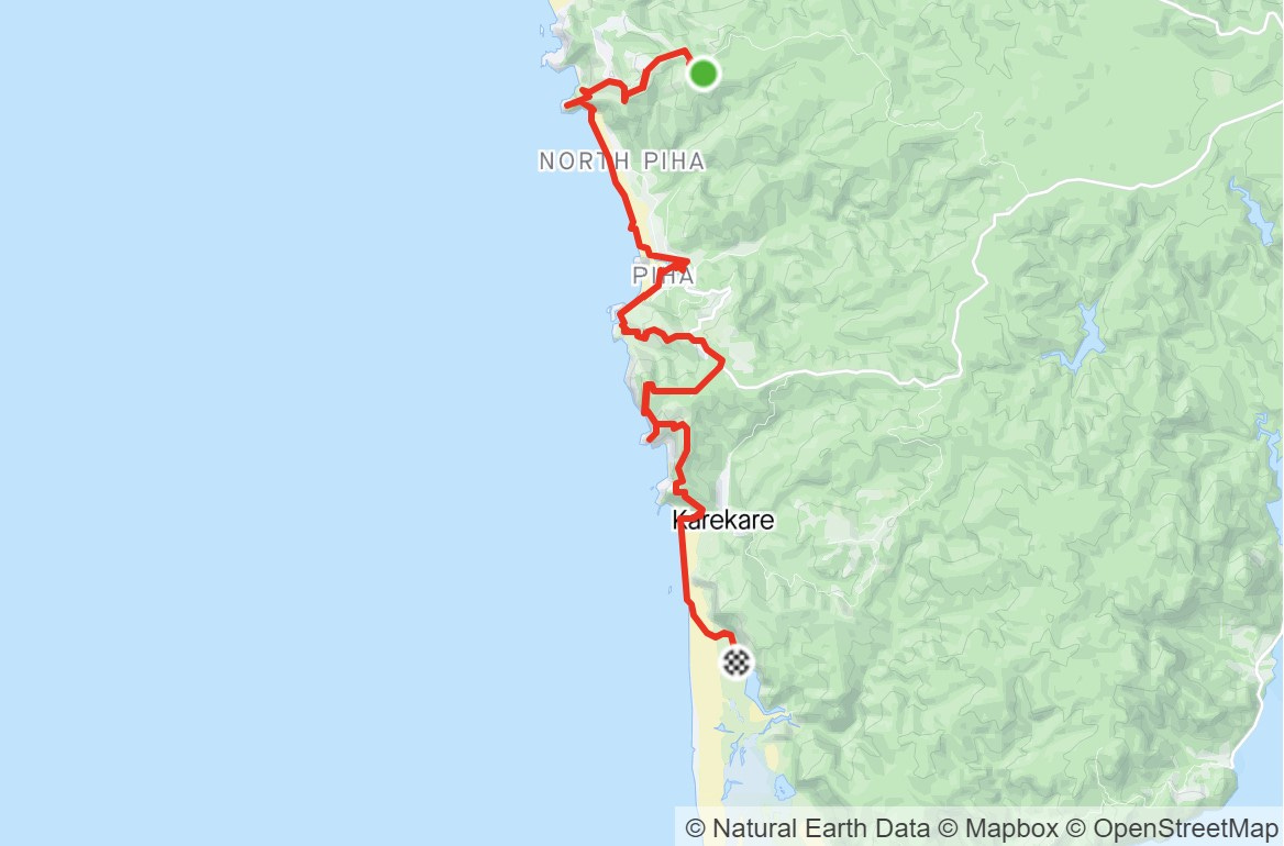
Work on the tracks of the Waitaks has meant a gradual reopening in certain areas of the park. Auckland Council’s official line on Te Ara o Hillary is that it remains closed. However, I’m pleased to tell you, that’s only partly true. If you’re a ‘make do with what you have’ kind of person, then the fact Te Henga Walkway and the Kuataika section are closed1 won’t matter. It’s possible to get from the Scenic Drive start of Cutty Grass Track through to Karamatura road end, in Huia. What’s more, it makes quite a nice three dayer.
Our 2023 Hillary Trail hike - day one
As mentioned, Te Henga Walkway between Muriwai and Te Henga is closed and ain’t reopening any time soon. We rideshared from Henderson to the start of Cutty Grass and walked through to Craw Campground, for a misty and drizzly night. This does require a few kilometres of road walking, but it’s the unsealed Anawhata Road and relatively quiet, especially on the rainy day we set off.
Day two - Craw to Tunnel Point
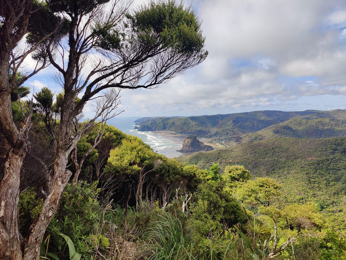
Next day, the sun was shining, so we enjoyed breakfast and the view of Piha from the camp’s ‘secret’ viewpoint. Craw is the first place I ever hiked to with a tent to spend the night, so it occupies that special place in my heart etc etc.
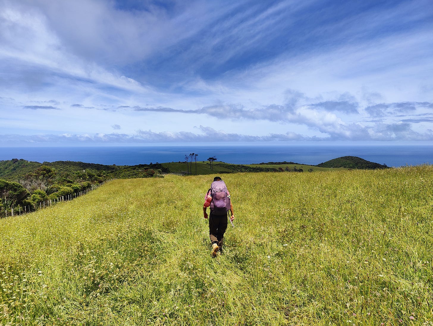
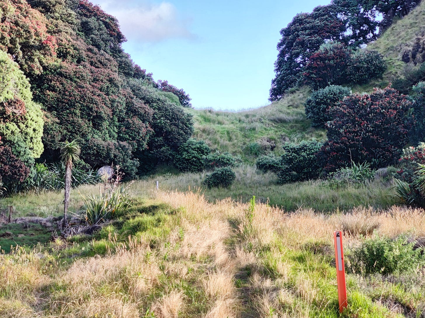
It’s not on many maps, but at the car park of Craw is a small track that leads back to Anawhata Road. Cross the road straight on and you’ll find a small track that leads to a gate and a bridleway. Turn left and follow the often muddy track up out of the woods and to a farm gate. Pass through the gate and head down through the paddock, towards a small stand of trees and a bunch of wooden farm fences. Pass through the gate and stay left near the fence as you approach a stile, with a Hillary Trail pillar on it. Hop over the stile and follow the bush-clad track back down to the road. Opposite, you’ll see the spray gate and the connection to White Track.
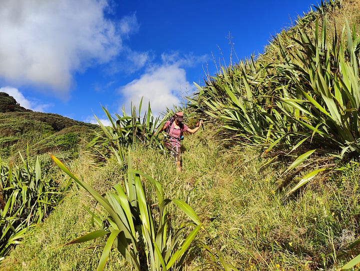
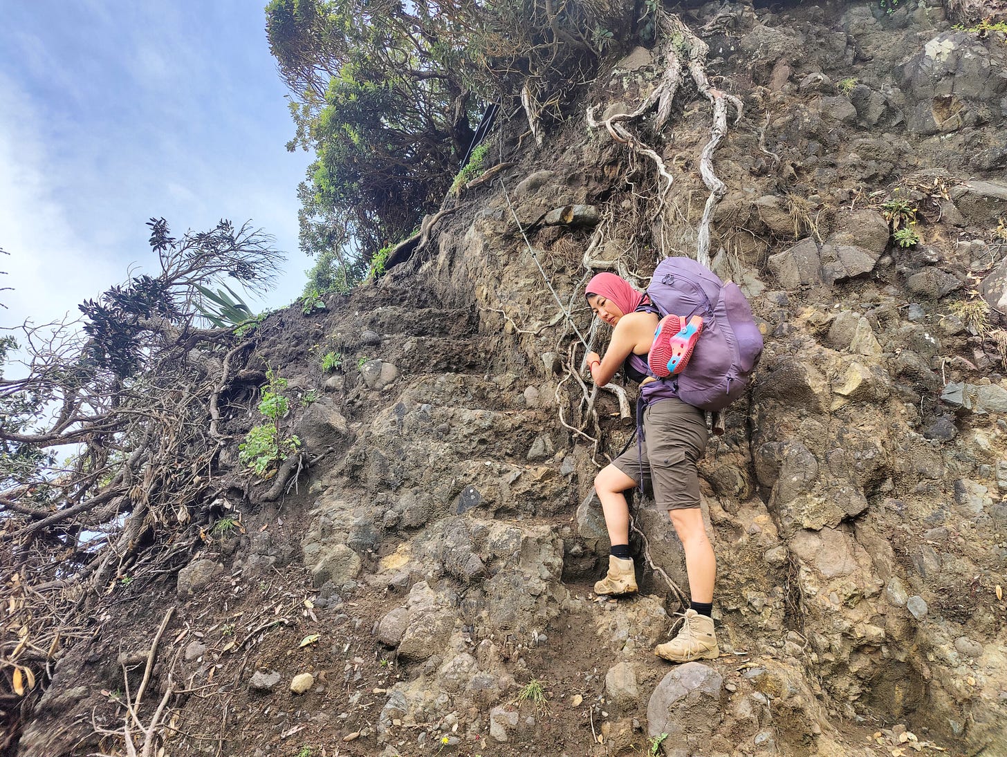
It turned out later that White Track was closed, so we cut opted to meander down the pink driveway that is Rose Track and onto Laird Thomson Track to North Piha. Sadly, a monster slip has washed away a huge chunk of Laird’s and no sign warned of this prior. No matter, though, as some clever locals have taken to the hillside with their spades and hand-cut a new route. It features steep steps, ropes and even a ladder at one point. It’s not for the faint-hearted, but it does the trick. It reminded me of the DIY hiking trails in the mountains around Taipei (Xiangshan, I’m looking at you!).
Feet safely on the famous black sand, we walked the three-or-so kilometres of beach to the bustling township of Piha, but not before I found a pair of trekking poles at the bottom of the giant slip. Are they yours? Send me a note!
The ever-popular Piha Store provided a top-up to our lunch and we filled our bottles with questionably-tasting water from the domain drinking fountain. Then, with the tide at a suitably low level, we walked south across the beach towards The Gap and blowhole.
UPDATE: the original, mk.1, 2010 Hillary Trail route has been reopened between Piha and Te Ahuahu Road and may suit your needs better. Click here to find out more!
[Over thousands of years, the raging Tasman Sea has forced its way through the rocks at the southern extremity of Piha and created some unique features. As is often customary, there seems to be little consensus on which feature is actually ‘The Gap’. Stuff and Piha.co.nz both refer to the open section of rock on Puaotetai Bay as ‘The Gap’, while the National Library of New Zealand refers to the sea cave slightly to the south as ‘The Gap’. I’d always thought it was the former, but the Nat Lib’s wading in does sow some doubt. Do you know which is actually ‘The Gap’?
Walk into the grass above the beach and you’ll find a few slender tracks, one of which, if you bear left, turns into a formed gravel road and leads all the way up to Piha Road. At the top, the sign pointing down it simply says Tasman Lookout Access, which might be a name, might be a statement.
Following Piha Road up the hill to connect with Te Ahuahu Road is the most dangerous part of this hike and should only be partaken by those confident of their road walking skills. In the event Winstone Track - from the Glen Esk Stream side of Piha Road - gets a full reopening, this would be the ‘official’ Hillary Trail and the route I would recommend. I did say this was a ‘making do’ method.
Fortunately, the Piha Road walk is under one kilometre and we were soon on the quieter and safer Te Ahuahu Road, making our way to the next spectacular segment of this multiday monster: Mercer Bay Loop Track.]
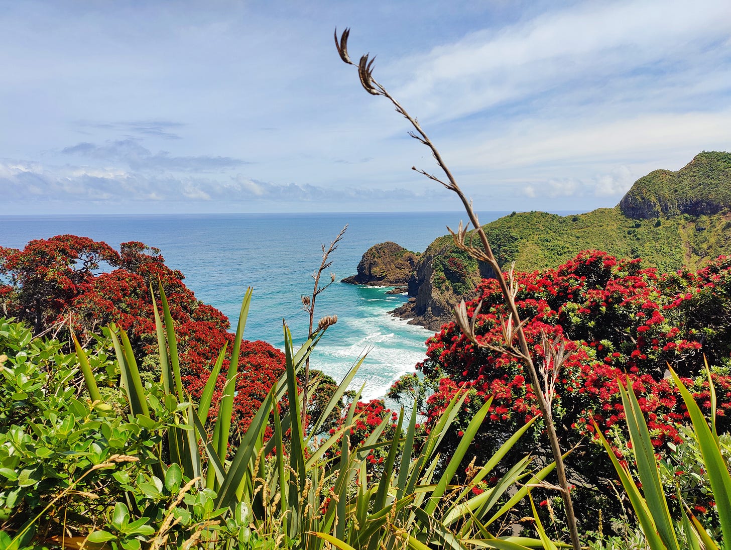
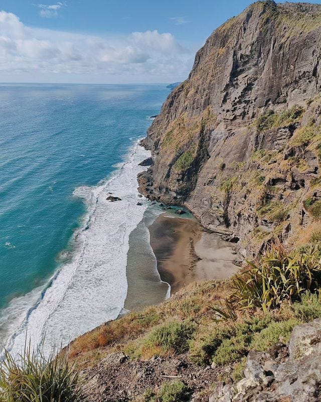
Mercer Bay Loop is one of those walks made famous by the combination of its jaw-dropping awesomeness, the fact it is open and the existence of Instagram. It’s often very busy, with hoards of view-seekers all wandering out for a glimpse of its epic cliffs. We joined them in this, leaving our packs at the main track junction to give our shoulders a five minute rest. I must have seen the views around those cliffs a hundred odd times, but still I see something new every single time.
From high above Mercer Bay, the track loops back to its car park origin, while another track continues on to a junction with Ahuahu and Comans Tracks. Comans was the only open of the two. It undulates along the cliffs, revealing a load more spectacular coastal views, before dropping us at a boot wash station above Karekare Beach. There, north of the rock, is a route between overgrown grass and big flax down to the beach. Once on the sand, we crossed the stream and headed south down the beach, looking to pick up the Hillary Trail marker after Cowan Point.
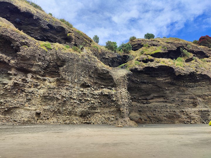
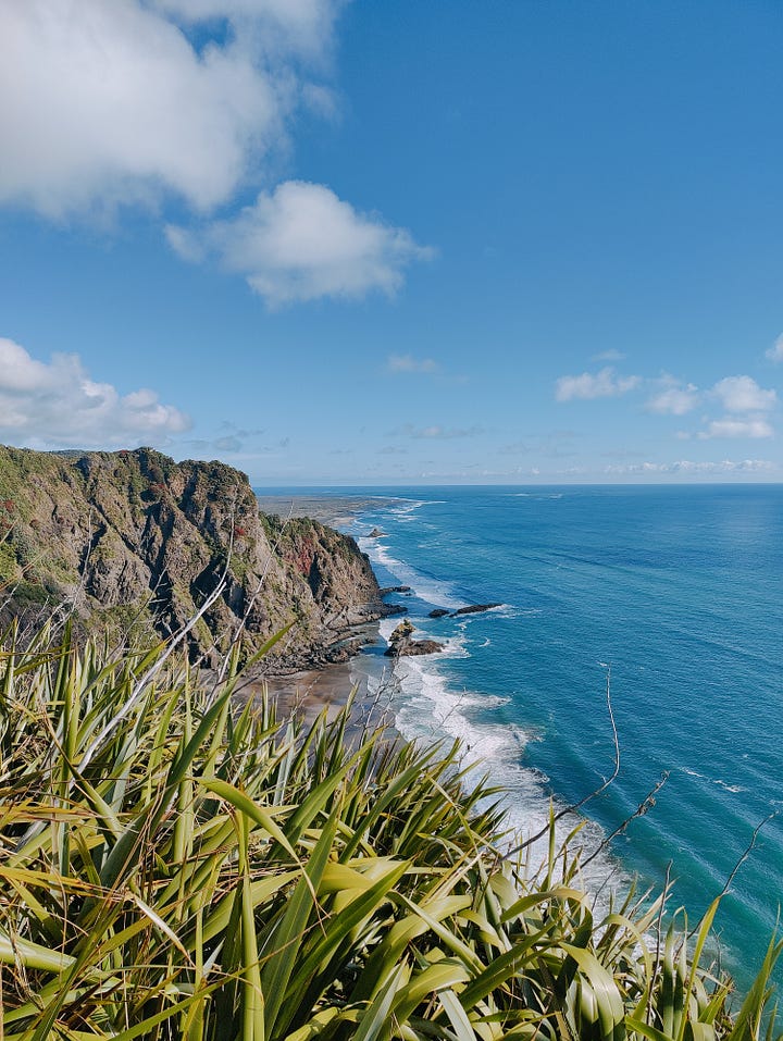
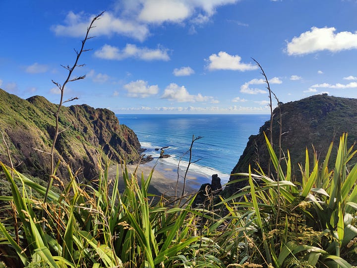
Camp for the second night was Tunnel Point, which is entirely possible to miss if you wander absent-mindedly down Karekare Beach towards Whatipū. While there is a second-chance to reach Tunnel Point, the location of this entrance means you won’t get the fun of walking through the old tram tunnel. To find the tunnel track, it’s best to stay in or near the dunes and look for a Hillary Trail marker in the sand. Follow this and the soft dunes soon turn to grass. The track straightens up and joins an embankment that definitely feels like an old rail route. Follow this and the tunnel soon pops into view. Cut through the rock, it’s not a long tunnel and the campground is found just the other side.
Day three - Tunnel Point to Karamatura
Tunnel Point really is an excellent campground. From the birds chirping from multiple directions, to the distant washing of the ocean, echoing off the cliffs, it’s a truly pleasant place to call home for a night. The recent-ish addition of a water tank and cooking shelter has only improved the experience. It’s also seldom what I would call busy. When we stayed, another couple were planning to spend the entire day and an extra night there, because, well, it’s a really cool spot.
Leaving Tunnel, the trail heads back out into the dunes, for a soft and hot sand walk to the Pararaha Valley. Another of my favourite spots. Part of recent track improvements saw the former stream-crossing replaced by what my pal Simon likes to refer to as the Harbour Bridge. It’s huge! It has to be: heavy rains have brought down some humongous tree carcasses, all of which would crush a lesser bridge. Expect to see more of these kind of ‘overbuilds’ in the future.
Pararaha today is a rock-and-nīkau-laden valley, with green grassy flats adjacent to the wide stream. Perfect for camping! A former logging settlement and stop on the Piha tramway, you’d have no idea today that this was once a small settlement. The cooking shelter and benches are a perfect spot for breakfast, morning tea or even lunch. Filter some water from the stream and enjoy the scenery in this special place: the next part is uphill!
Muir and Gibbons Tracks are recent reopenings in the Waitākere portfolio. Muir is accessed behind the Pararaha cooking shelter and leads steeply up into the forest. It’s all gravel and steps. Keep an eye to the right on the way up and you’ll see the old track’s chain-over-rock section that was always a thrilling clamber down on the descent. A nod to a former time on Muir.
Gibbons Track is largely flatter, with several expansive views over the Whatipū scientific reserve. It’s an incredible wetland, not only for what it is now, but also for the speed in which it has formed and taken over. The cliffs, where they stand today, were the coastline just 100 years ago. Waves smashed against them and the rickety tramline built, often on stilts. A process called progradation has seen a couple of cups of sand deposited and now the coastline sits two kilometres from the cliffs! It’s a never-ending process. What will it look like in 50 years?
The campsite at Whatipū is another of my favourite places in the world to wake up. Probably because Whatipū is one of my favourite places in the world. On this occasion, however, we were walking right through. Not without a few minutes chilling at the picturesque picnic area, beside Whatipū Stream. We also filled water bottles here, since there are no water sources on the trail from here, right through to Karamatura.
Another Insta-famous track leads out of Whatipū: Ōmanawanui. Known for its panoramic views of the Manukau Harbour, it really is hard to beat on a good day. People know it, as well. On the cloudy-turning-to-rain day we walked it, it was still seeing traffic.
Ōmanawanui joins up with Puriri Ridge, which then becomes Donald McLean Track, which then becomes Karamatura Track to finish near the township of Huia. It’s all relatively straightforward bush walking, on sanitised compacted gravel. The side-trip up Te Rau-o-te-Huia/Mt Donald McLean and to Karamatura Falls are both worth it if you have the time!
Thanks for reading my little guide on the Hillary Trail 2024. I hope you’ve found it useful. Please do pass it on to anyone who might appreciate this write-up. If you would like to support my future adventures, I’ve cut full the price of a full annual subscription down to just $17 a year. That’s 66% off full price! Just press the button below. Get early articles, special one-offs and other benefits as my brain comes up with them by becoming a fully paid up subscriber. Just press the button below. Alternatively, you can always just buy this coffee addict an oat flat white. Or just send this to that mate!
All of this is ‘at time of writing’, obviously.




Great write up, in Autumn 2022 after a full-time summer of cycling did the Ōmanawanui, Puriri Ridge, Donald McLean Tracks return from Whatipu. Was fine on the day, lovely hike, but the next day found out that a zillion steps and stairs must activate different muscle groups to cycling and crept around like an old fellow for a day or two after as the legs recovered.