Traversing the tops of Kahurangi National Park
A trip to the top of the world, at the top of the South Island.
My consciousness slowly ticked round in the early morning. I awoke, then my eyelids gradually wound back, completing the process of coming round. Time to get up!
My hut-mate had been up for a few minutes or so and he wasn’t the big breakfast and coffee-type, so was soon on his way. The previous night, he’d told me he was running low on food and eager to get out today, so a bit of a mission lay ahead for him. I, on the other hand, had no plan, just three options. After making the steep climb up onto Biggs Tops, I could:
head down to Wangapeka Saddle and back out on the Wangapeka Track;
same saddle, but climb up to the tops around Mount Luna;
or try and traverse the ridge east between Biggs Tops and Mount Luna.

The first one had little appeal and was merely my bad weather option. The third looked feasible, from the relatively uninformed position of a few pixels on the 1:50k NZ Topo map. However, I didn’t fancy bush-bashing a wooded ridgeline alone without the ability to tell someone of my plans. That left only the second option, which is exactly what happened.
Kia ora! Just interrupting this to remind you that Dunc Wilson Adventures is a wholly reader-supported publication. It’s free to read most things, but if you’d like to support future adventures and gain access to the full experience, paid subscriptions are currently just $17 per year. Click the button. But only if you can truly afford to. Thanks!
A cool and sunny morning awaited as I stepped off the hut’s front deck and onto the trail. The steep climb to the treeline took me two hours. The route initially follows a steeply descending creek, then winds its way up through beech forest.
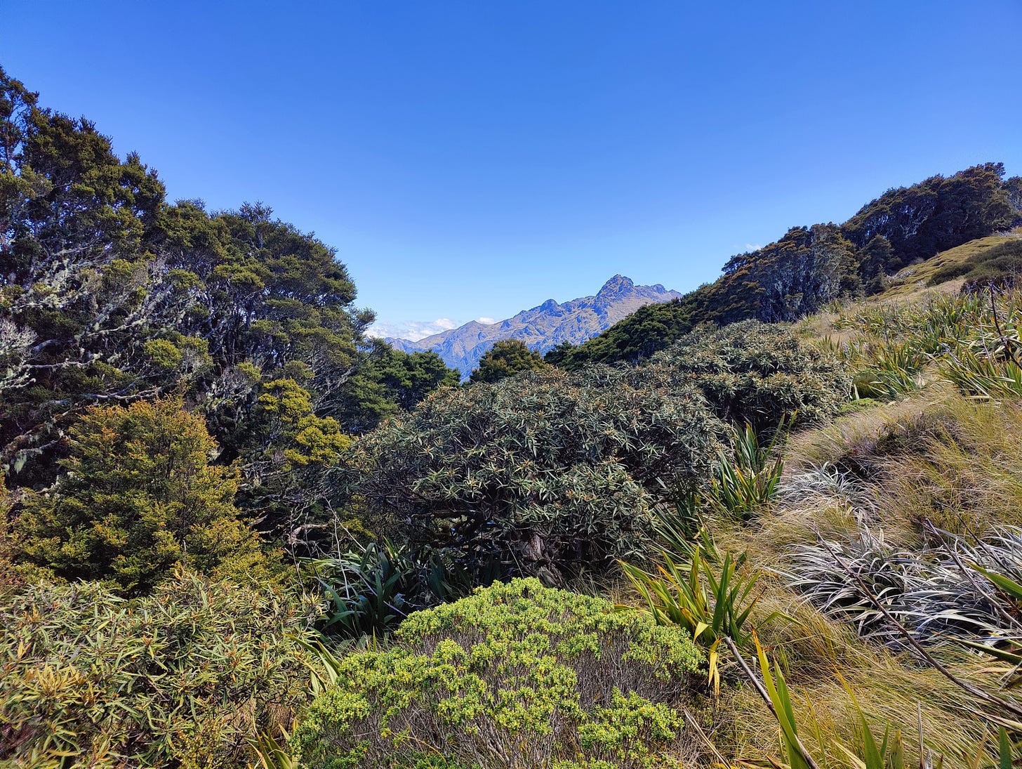
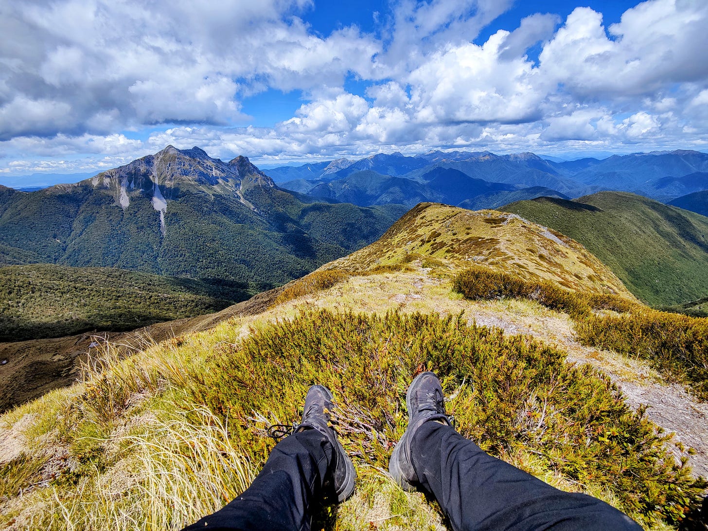
The emergence through the New Zealand treeline never fails to amaze me. One moment you are surrounded by the deep browns of aged tree trunks and decaying leaf litter; then, in as little as a few footsteps, you a teleported into a world of hay-yellow tussocks and mountainous scenes in every direction, all under the canopy of a cloudless, bluebird sky (if you pick your day right!). The contrast is dramatic, the change emphatic.
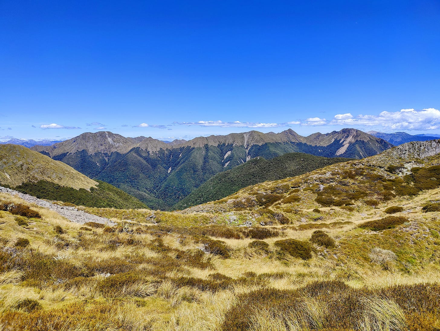
This was the case as I emerged from the trees onto Biggs Tops. The well-trodden path of mountain gravel and soil the only blemish in the otherwise perfect scenes. Scenes which only improved with every upward metre. I looked westwards towards Little Wanganui Saddle and Kākāpō Saddle. Scrub-covered and rocky peaks jaggedly poked up towards the deep, blue sky. It was all eyeball candy on 11.
As I ate lunch sat on a wide ledge with a view, I decided I wanted to summit the highest, 1457 metre peak. For this I would need water, so I retraced my steps a little and turned off to a tarn. The boggy, brown water was concentrated enough to keep some of its tea colour after filtration, but on the surface of the pond, it couldn’t help but turn into a mirror, echoing the perfect sky that hung above it.
I was tempted to set up camp beside the tarn. A chill day among a bunch of demanding day treks is always the dream and often a temptation. They come with one caveat, however: they can be excruciatingly boring. The body and mind quickly becomes accustomed to travelling large distances and any sudden halt can send it in to sleep mode. In the end, my decision was made by the fact the Tops don’t get cellphone service and I wanted to do a proper weather check to camp there restfully.
From the tarn I marched up onto the ridgeline to enjoy life on the tip of the triangle for a bit. To my right, the terrain swept down gradually towards the bushline, the marked route I was ignoring just a thin line scored in the shrubs. To my left, things were far steeper - the treeline sat at the bottom of a short, but near-vertical drop. As I punched across the ridge, a light aircraft flew over my head. My views were incredible, so what they were seeing must have been magic!
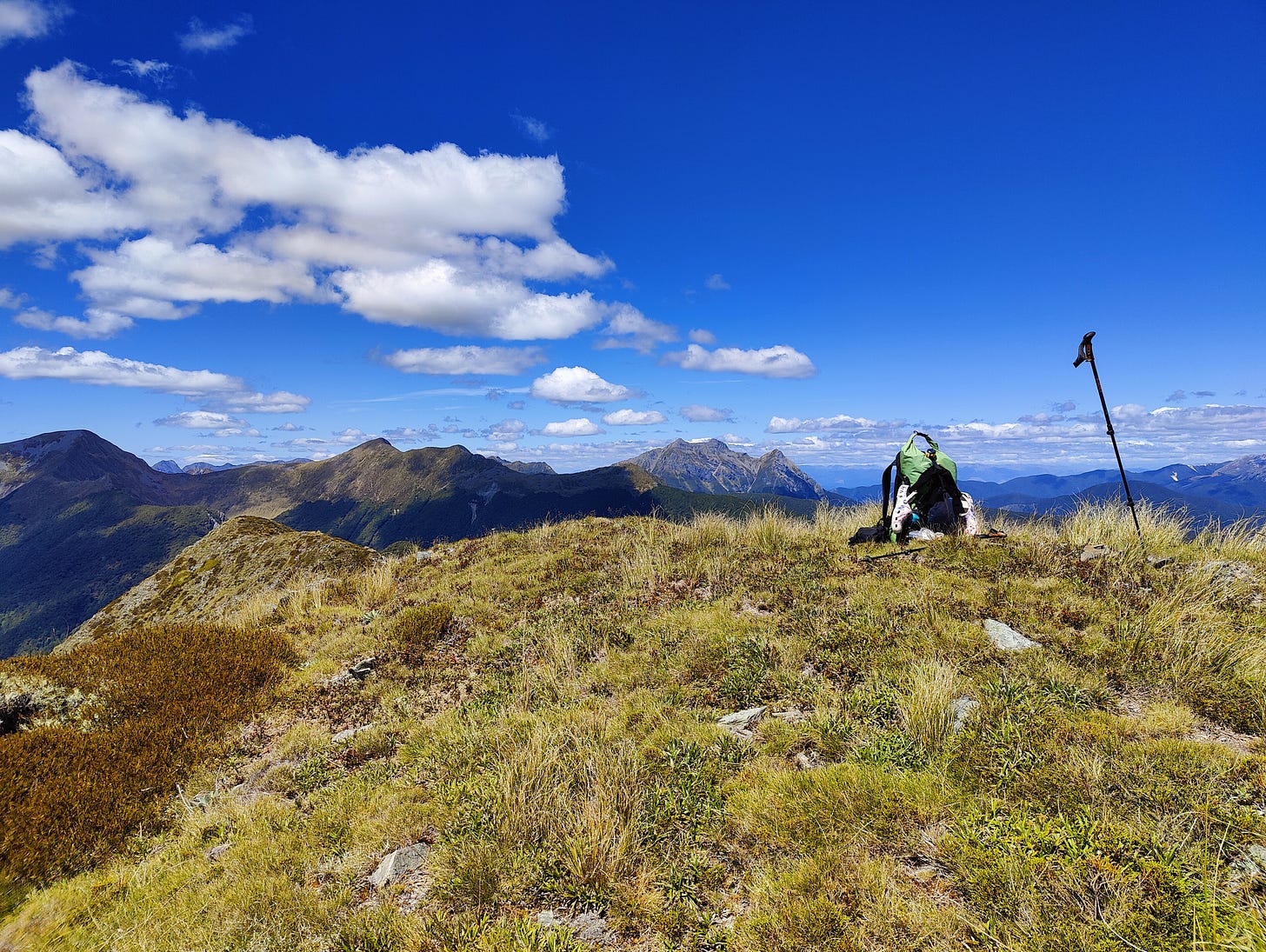
A short climb took me to the summit of the highest peak on Biggs Tops, the 1457. Just a few kilometres away the grey, rocky mound that is Mount Luna bulged from the top of the trees. It looked so close I could touch it! There must be a route along the ridge to it, right? This is New Zealand: people are always trying shit out.
I dumped my pack and quickly scrambled down towards the tree-covered ridge, to investigate if there was a sheep path indicating a possible way through. I wasn’t going to do it, I just wanted to see. Loose rocks rolled under foot as I climbed a smaller peak, from which I could see there was definitely some sort of path-wear. “Ah well. Next time,” I said. Yes, I talk out loud to myself on solo adventures.
Back at the summit, I grabbed my pack, which fortunately hadn’t suffered any kea attacks, and crashed straight down the side of the mountain, back onto the main route. I think it’s something to do with my Roman ancestry, but I do love a direct route, no matter how steep.
The track from Biggs Tops to the Wangapeka Saddle must be one of the fastest in the entire Kahurangi National Park. The tops get their name from sheep farmers living in the nearby Motueka Valley, who used to drive their sheep up there. It shows. The track is wide, littered with leaf fall from the numerous - I think - tōī or mountain cabbage trees that inhabit the area. Going for an unintended ski on these large, slippery leaves was the main hazard as I descended rapidly to Wangapeka Saddle.
To mark a point of difference, I opted to camp at Stone Hut for the night, rather than sleep inside. I’d carried my tent both ways on the Wangapeka Track out and this modified route back, so I figured I should use it on trail. There were also two people already sleeping in the hut and I had become accustomed to crashing alone, so this helped my decision.
After a night trying to sleep on what turned out to be rocks, with grass thinly growing on top, I woke once again, and decided this was the awakening I would rise to. No matter how hard I tried, I hadn’t been able to get the rocks to mould to my spine shape and had spent much of the night awake.
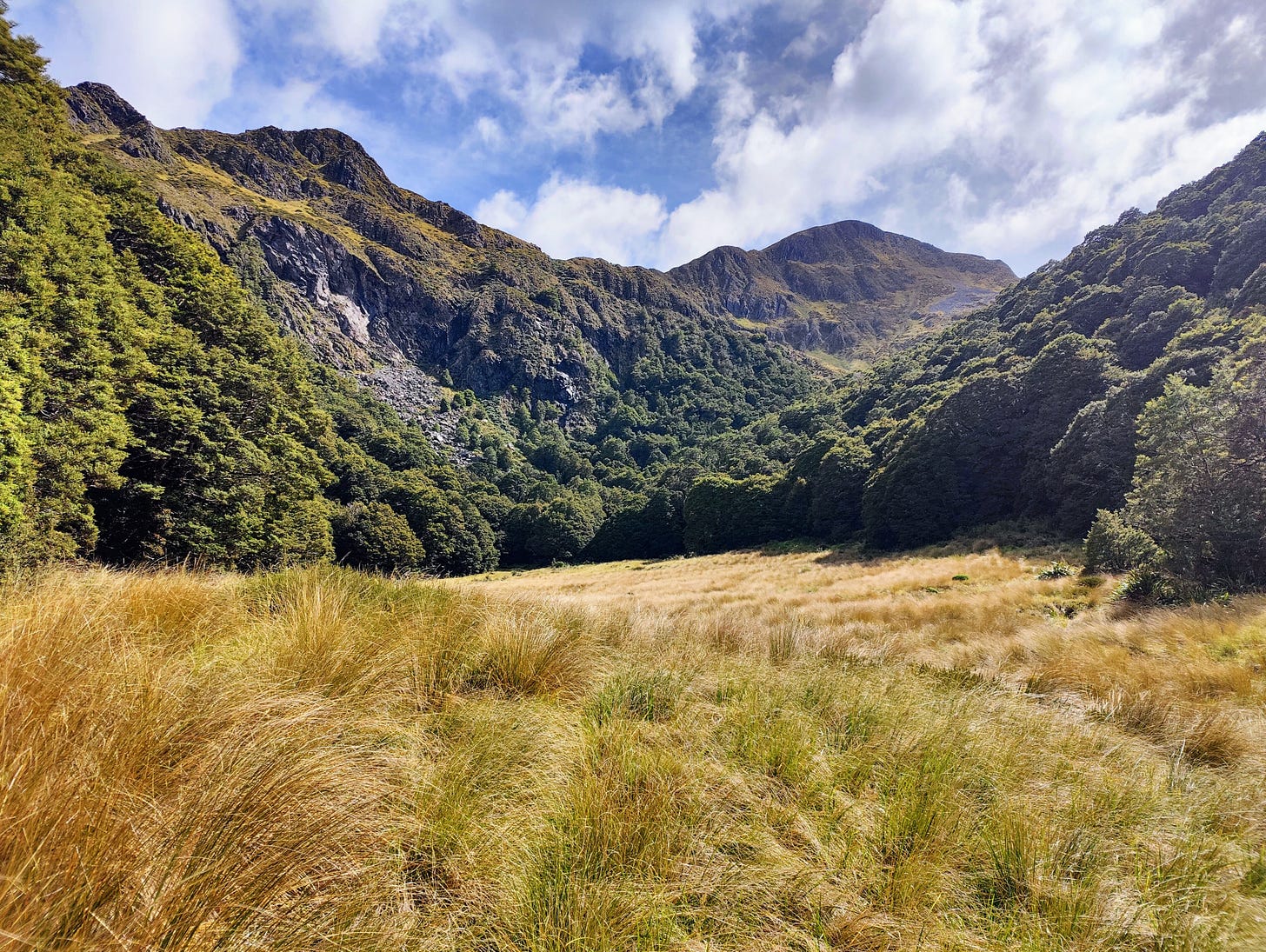
The Mount Luna Route was the day’s first section. I still wanted to pass by, possibly summit, this majestic looking mountain. I crossed the cool water of the Wangapeka River barefoot, then put my shoes on ready for the day. The climb up through the beech forest was gentle, initially following the true left of the mossy Stone Creek, before crossing over to its true right. A large, flat, oval-shaped clearing offered daunting views of Mount Luna overhead, along with camping options beside the infant creek.
I smashed through the long tussock to the edge of the clearing, then stopped to restock on water from the creek and take in a peanut butter sandwich. It was time to climb! A short section of forest gradually steepened, leading to a steeper climb up rocks and through scrub. Transitioning above the treeline was magic again, though marred slightly by the day’s overcast complexion.
The route markers ended and it was over to a few cairns to lead me into the basin, which had steep sides and was actually basin-like. Standing at the last cairn, right in the centre of the bowl, I studied the potential ways up and out. To the west it appeared there was moderately easy climb up onto Luna’s western spur, to the east there was a straightforward - and straight-up - climb to the southern spur. I ummed and ahhed for a moment. To take the western route, I would need to summit the mountain and then head on down the south spur from there. I hadn’t planned to climb Mount Luna when I set off, so yet again, I parked this adventure route in the “next time” space and opted to climb straight up the south spur.
As it happened, the climb up the south spur was an adventure in its own right. It was steep and required constant route decisions in order to avoid the thicker scrub and successfully cross the loose scree that slowly drained from its slopes. Once on the spur, I resisted a brief moment of temptation to try for the summit. Though seemingly climbing a vertical rock face, it looked like there was a way up!
I resisted, however, and trekked up the spur to the point at 1578 metres, due south of Mount Luna. As I made the final steps to the top, the views to the south of Luna Lake popped into sight and I immediately forgave myself for leaving the mountain until next time. Nestled between the rolling sides of Mount Luna and a far ridge coated in beech forest, the giant tarn’s water glistened in the sunlight, disguising its peaty brown colour. As I stood admiring some of the best scenes this planet has to offer, a pair of giant seagulls circled from above and descended towards the lake. Squawking their lungs out, I wondered if they knew they were 1500m above sea level and ruining the entire seagull community’s good name.
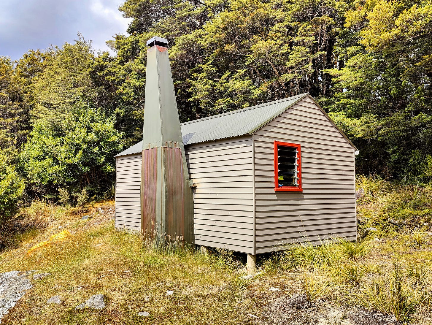
The ridge from the 1578 to Kiwi Saddle is narrow, jagged and a technical traverse at times. I found it best to leave the ridge and sidle around some of the peaks, rather than Roman over the top of them. Once back in the trees, the orange route markers were back and I trundled through the lean beech forest to Kiwi Saddle Hut. This cute little six-bunker sits on the flat saddle between the mountains Luna and Patriarch. Finding nobody there, I quickly moved in, boiled the kettle, sunk a coffee and got marching sans-bag towards the summit of Mount Patriarch.
The cloud was closing in and rain was due that night and for most of the next day. That unfortunately meant I would have to skip the final traverse over southern Wharepapa/Arthur Range and return down the valley to the Wangapeka Track once again. A jolly up Mount Patriarch seemed a rewarding and fitting end to my time on the tops. On day one of the Wangapeka Track, I had looked up to see the grey mass of Patriarch punching into the sky. I thought I could see a human on it too and imagined what it must be like up there.
With every metre in altitude I gained towards its 1701 metre summit, the atmosphere seemed to get quieter. I left the marked route and blazed along the worn trail, my legs brushing tussock and getting stabbed by the masses of speargrass that seem to thrive there. The plants give over to large boulder zones on several occasions, each of which required attention and care as I clambered through and over them, with the ideal of not slipping to my death.
Like a computer game, I cleared the final boulder zone and clambered up onto the final stretch, a mountain grass covered slope. A sole kea made itself known with the familiar call from high in the air, before landing just above the boulder zone. There it stood, continuing its scream, as if warning me of some terrible danger. It strikes me there are two types of kea: the unruly, highway-dwelling, semi-urban types, with their seagull-esque food greed and unhealthy appetite for car rubber; and their noisy, but standoffish backcountry cousins, who like to fly high altitudes and keep a 20 metre distance from all humans. If I could be reincarnated as one, I’d choose the latter.
The summit was silent, almost eerily. A large cairn marked the centre of a flat circular area, with incredible 360 views of Tasman, Nelson, Wharepapa, Kahurangi National Park and everything else in the area. It was breathtaking, but the cloud was clearly sweeping in. I took a moment to enjoy being on top of the world, admiring the scenes I had worked so hard for. I even took advantage of the phone service to do a weather check: yup, rain!
Just five to ten more minutes enjoying these 1701 metres of sheer brilliance was all I wanted, but a giant gull had other ideas. First I heard a squawk from high up above. I looked and saw its stomach glide just over the top of me. “Swoosh!”. It was dive-bombing me! It came around for another go, before taking a third swipe. What did I do wrong?
My mountain moment ruined, I began retreating down the grassy slope and it seemed to call off its attack. irritating flying dinosaur!
As I took the final steps back to the hut, the skies opened and the rain began. It was light at first, but by morning it was all on and falling hard. My waterproof clothing would have been enough to see it off, but the track back to the Wangapeka was very overgrown forcing me to smash through a lot of saturated, young beech, soaking me in the process.
It was a fitting end to an adventure that began with a sopping trek out to Kākāpō Hut. Now I was nearing the finish and wet right through. But I’d been to a lot of sunny summits on the way!






A great read, helps relate having recently been in similar country, albeit a bit further South and on much more tamed trail, on the Old Ghost Road :)
https://flic.kr/p/2pEXEcC